

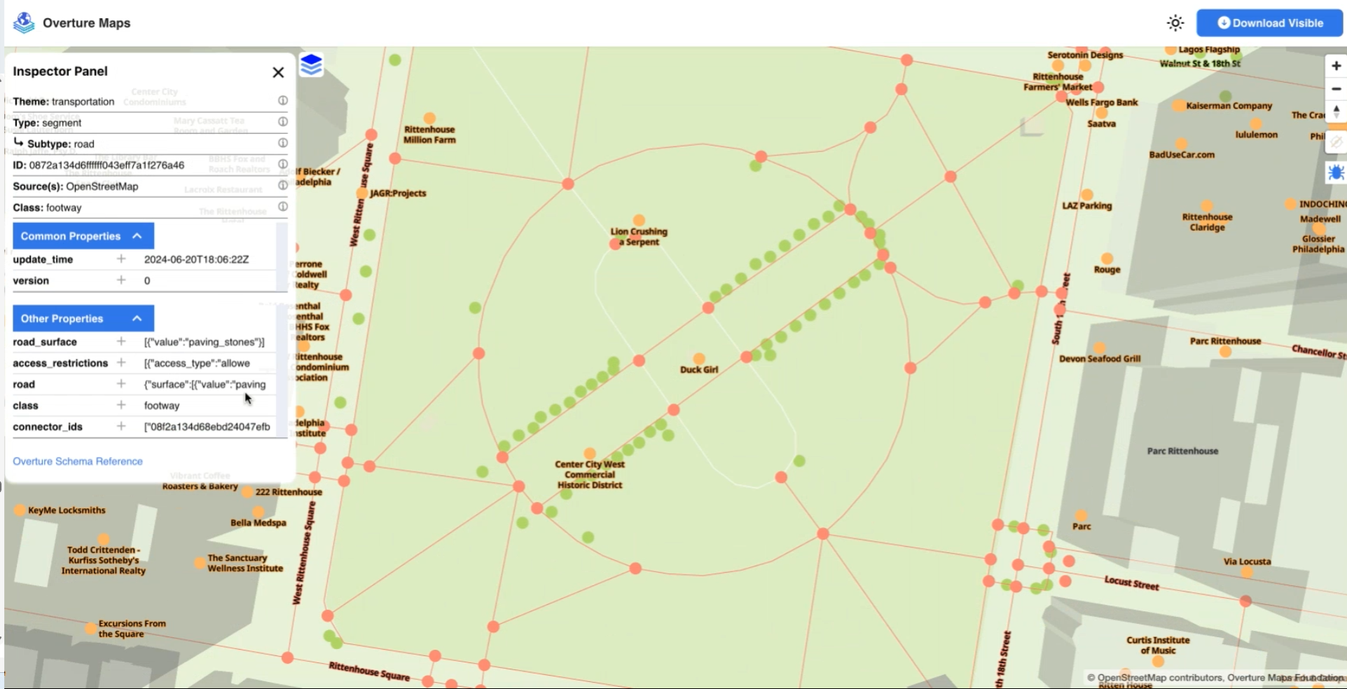
A transportation map from Overture Maps Foundation
The world of cartography has come a long way from the days when explorers charted new worlds with pen and paper. Today’s digital maps feed a huge amount of geographical data to people, delivered at incredible resolution through whatever filter imaginable. And thanks to a new Linux Foundation group called the Overture Maps Foundation, those digital custom maps can now be based on a shared repository of common geospatial data that is global in reach and free to download.
Overture Maps Foundation was created 2.5 years ago by Amazon, Meta, Microsoft, and TomTom with the goal of providing an open map foundation complete with an array of interoperable map features. The group recognized that a large amount of time and money could be saved by working together to create the foundational elements for a single global map, as opposed to doing the same foundational work independently.
“The idea with Overture is to build the reference map features that will literally give us the reference map,” Overture Maps Foundation Technical Director Amy Rose said. “All these things that [the founders] were already doing separately, we could have this enormous cost savings, enormous efficiency and be able to have more up-to-date, fresher, better quality data if we all work together.”![]()
Every month, the group ships an update for the six core geospatial themes it covers, including a base map, buildings, transportation, addresses, divisions, and places (or points of interest). The data is released in the GeoParquet format, an incubating standard at the Open Geospatial Consortium that is supported on Amazon S3 and the Microsoft Azure BLOB store.
The geospatial data itself so far has come from about 200 sources, including the founders as well as participating mapping companies like Esri, crowdsourced maps like OpenStreetMap (OSM), and open address collections like OpenAddresses.io. To date, more than 3.7 billion features have been documented in Overture, the group says.
Overture also put a lot of work into building a mapping system that is standardizable and shareable, Rose said. It created a standardized schema for the data it shares via GeoParquet, and it also created the Global Entity Reference System (GERS) to help ensure internal consistency over time as well as external consistency with other map-makers who adopt its data
The idea with Overture wasn’t to build the world’s most complete and detailed map, but rather to build a foundational map that features a persistent ID, via GERS, and has high quality with the six themes that it has included, Rose said. In other words, it’s something that other mapmakers of the world can build on top of.
An example of an interactive map from Overture Maps Foundation (Source: Overture Maps Foundation)
“If you think about the way we’re building it, we’re building it globally, but there’s a lot of providers out there that are working locally,” she told BigDATAwire in a recent interview. “So if I’m a company working in a particular market, like Eastern Europe, and suddenly I want to expand my market, I don’t need to do something completely different. I know that there’s this global reference map that I can expand into in other regions.”
Keeping the building and places data up-to-date is a challenge, Rose said. Buildings will come and go on the Earth’s surface, and someone has to confirm whether the structure is still standing or not. Overture uses six sources of global building data, which it uses to cross reference and confirm any changes.
The places data is also constantly changing. A building that once housed Bob’s Coffee will have one ID. If Bob’s moves away and Sally’s Shoes sets up shop into that building, Overture will give that entity a new ID.
“So when you see a feature come out in one of our releases, it’s a process where we have matched all those sources. We’ve stored it and then we merge them to get one feature,” Rose said. “That heavy lift is part of our pipeline. So once we’ve done all the matching, it’s much easier to keep it updated.”

Overture Maps Foundation CTO Amy Rose worked at Oak Ridge National Laboratory for 16 years
Overture includes a change log with every monthly release. Starting with the upcoming June release, Overture will include a GERS registry that users will be able to use a lookup and a reference to understand when an ID was first created and what was the last release it was in, Rose said.
“We’ve set the foundation, but there’s still a lot of a lot of work to do, particularly in starting to build out some of the relationships,” she said. “All of these features are related. You have an address associated with a place associated with a building. We want to make sure that we’re connecting those through our ID system, so that it makes it that much easier to make those connections with external data.”
Ensuring data interoperability has been a big challenge in the geospatial community for a long time. It traditionally has taken a large amount of data engineering to be able to build a global geospatial data set. The work being done at Overture Maps Foundation, and particularly with GERS, can help to alleviate some of that burden with downstream users.
“I’ve been in geospatial for 30 years, and when I saw Overture launched, I was like, finally,” Rose said. “That’s the challenge really, the interoperability piece. The data building and doing it in a clever way is really important. The standardization of the schema is really important. But the interoperability, that’s the grand challenge.”
Related Items:
How Geospatial Data Drives Insight for Bloomberg Users
5 Ways Big Geospatial Data Is Driving Analytics In the Real World
Location Solves Just Part of the Geospatial Challenge